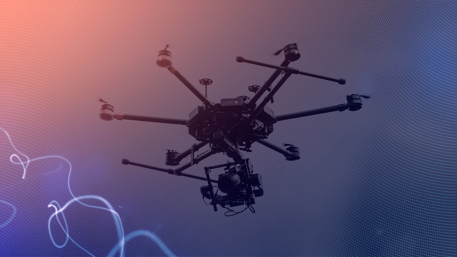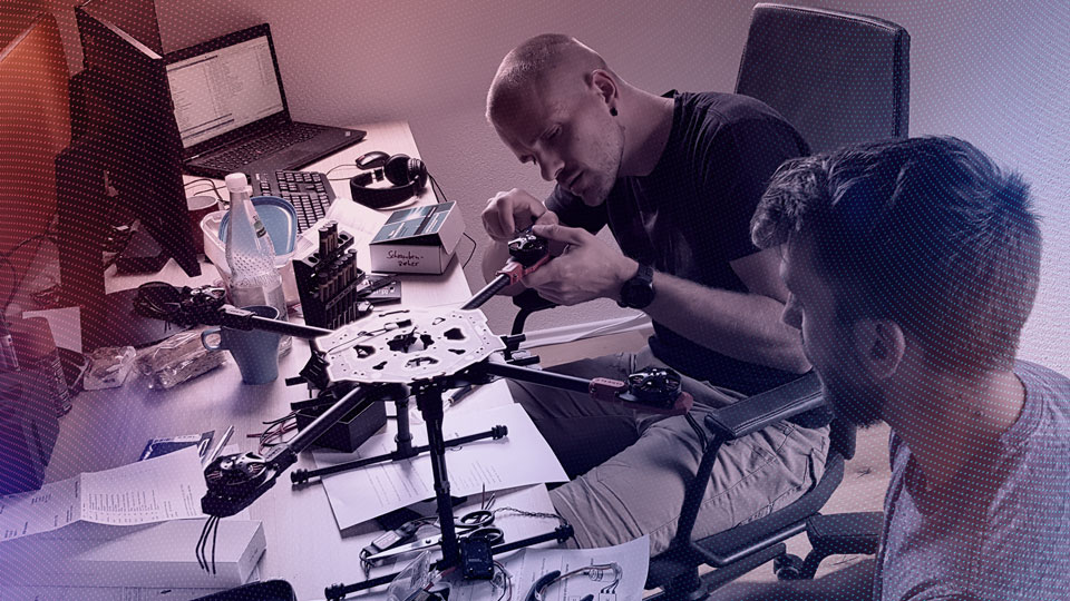
Air Taxi & Aviation
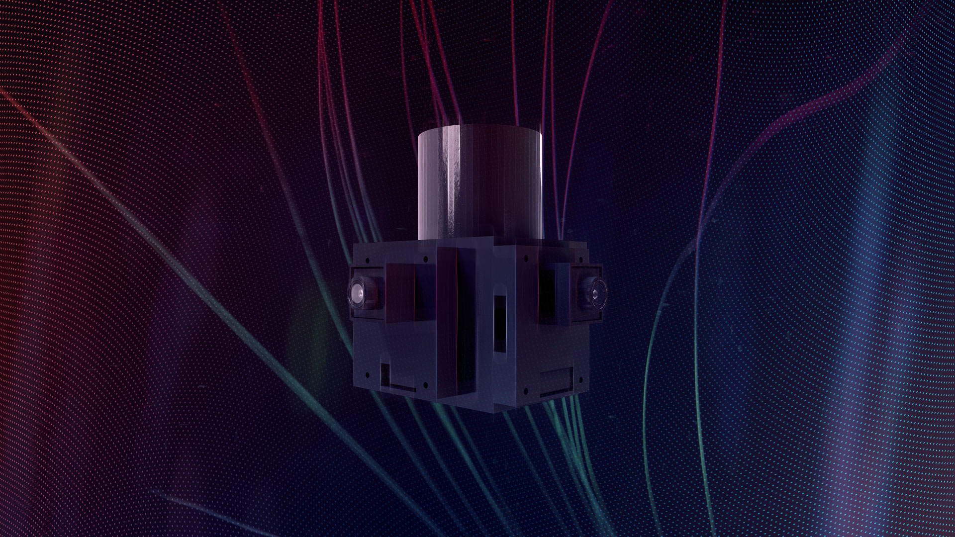
Sensor Fusion
We deliver Machine Learning Modules/Functions on all Sensor types embedded with real-time performance.
Our unique fusion of different sensors, such as laser, radar and camera, allows you to perform various inspections and surveillance missions in real time. In combination with our AI applications you have the possibility to assistence your perception automatically and evaluate the results of the required specifications directly. Be it the inspection and maintenance of an industrial plant, the condition assessment of a power pole or the progress of work in an open pit mine. We give you the opportunity to quickly identify hazards and problems and not only speed up your work but also make it safer for your employees.
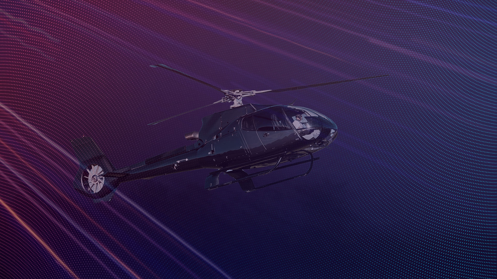
Collision Avoidance
For safe autonomous mobility you need an understanding of your environment to react to it.
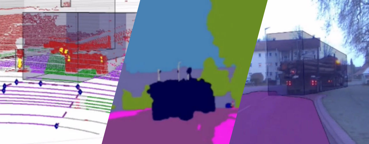
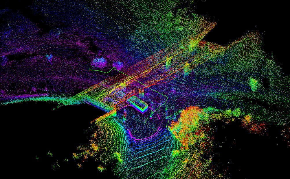
This full 360° perception flight demo answer the following questions: What does the self-flying vehcile see? 1. What does the camera see? 2. What does Sensor-Fusion see? 3. What AI sees! Toggle between 360° camera (3D), Sensor Fusion (Camera + Lidar) and AI based lines and Semantic Segmentation. The test flight measures the sign of Saalburg-Ebersdorf: "The Orangerie". Our system guarantees sensor alignment in each direction for a complete perception for safe collision avoidance, 2D, 3D boxes, on all sensors and a panoptical semantization of the environment.
Visual & Lidar SLAM
With AI SLAM you get high Machine Learning Performance & Safety for various kinds of autonomy functions.
Our AI based Lidar and Visual SLAM semantically reasons every 3D point around the flying vehicle. This leads to a complete interpretable 3D map for full autonomy. A 3D interpretation with high spatial accuracy leads to full process automation like automatic infrastructure analysis (buildings, streets, rails) or agriculture use cases (tree counting).
3D Mapping
Get high-precision 3D Maps with our Lidar SLAM. Our Maps are faster and smarter.
With our AI Lidar SLAM (Simultaenous Localization and Mapping) you create centimeter accurate 3D maps of a building, a construction site, an excavation site, a tunnel, a production line, a road, a field, etc. in real time. The data processing on your drone allows you to react quickly and specifically to short-term changes. With scalable AI, we reduce the number of labelled data through domain adaption and thus reduce your costs to a fraction of those of previous methods. Additionally the 3D SLAM makes your vehicle more independent from V2X and GPS communication, because it allows to locate itself So you can work safely even in difficult environments.
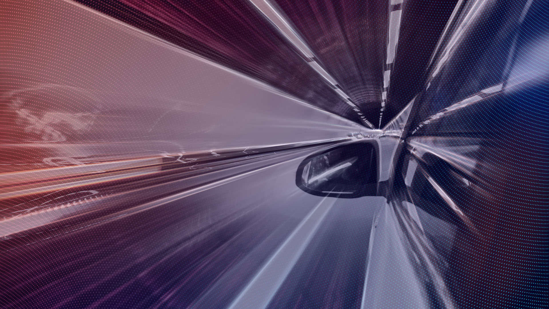
Decision Making
We climb up the ladder of automation towards levels 3, 4 and 5.

These complex systems require human Precision decisions (real time) for perception, Planning and automation. To replicate these structures, highly effective algorithms for deep learning and a data strategy for their education are required. For this purpose we use self-monitored learning (or self-monitoring) is a relatively new learning technique (in machine learning) where the training data is autonomously (or automatically) labelled.
Full Autonomy Architecture
Safety by Design enables the coverage of critical assurance levels.
We designed a full autonomous architecture for SAFE AI. Which based on Modularity and Sensor Redundancy. We are able to test all modules in separate. This modularity guarantees redundant Sensor Paths. So we are able to fullfill the standards of the DO-178 B/C. In concrete terms, this means that, for the first time, highly secure real-time systems for critical applications with integrated AI can be approved in series on the market.


Your benefits when you work with us
on edge AI
higher
safety
cost & time
efficientcy
platform
independency
enterprise
solution
Couldn't find the right AI solution for your challenge yet?
More products & applications
At SPLEENLAB we are developing safe AI products for autonomous mobility towards level 5 especially for flying, driving and beyond.